Humanitarian OpenStreetMap Team: Putting Vulnerable People on the Map
These slides:bath16.mapchange.org
1:OpenStreetMap2:Humanitarian OpenstreetMap Team (HOT)3:Padang, Indonesia4:Missing Maps5:Getting involved
But first, me
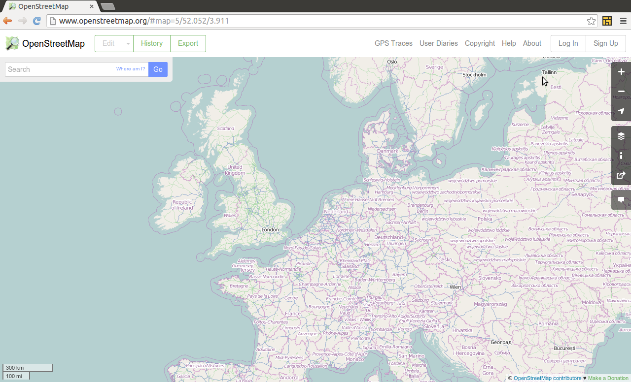
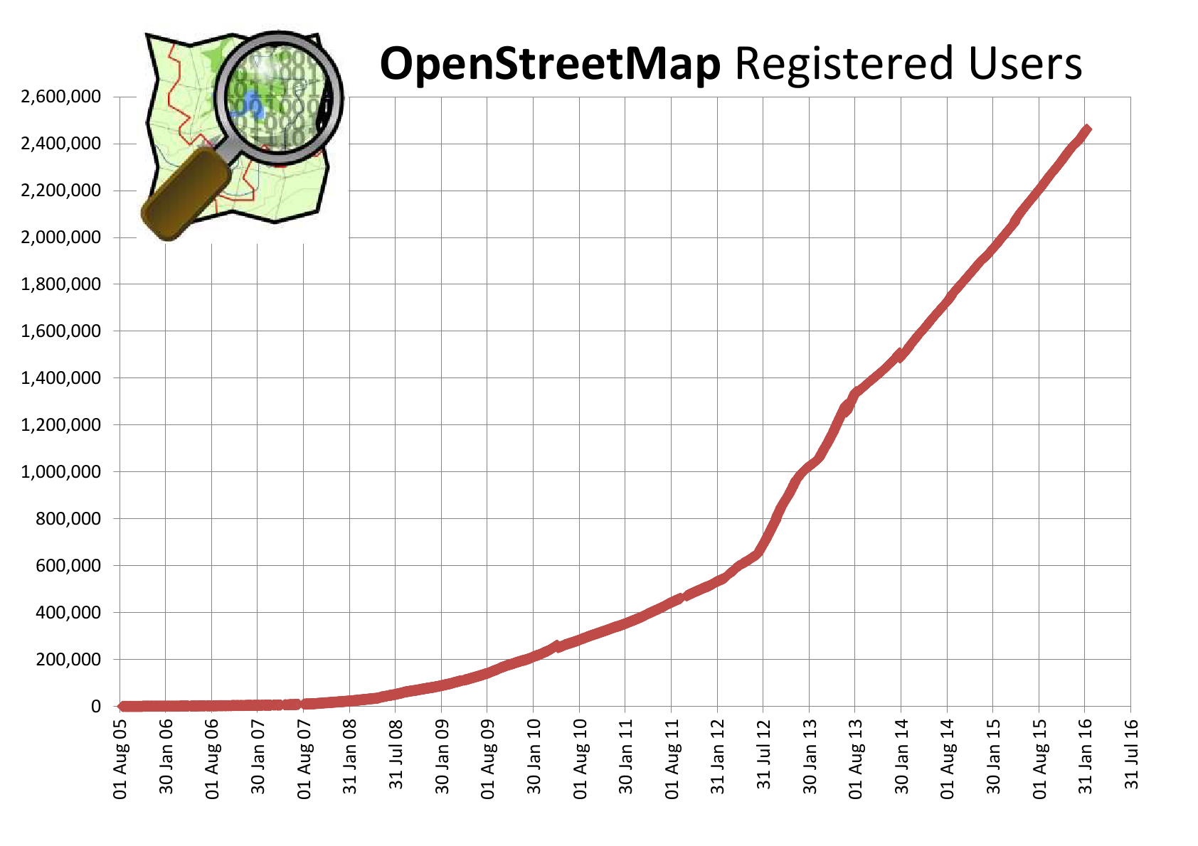
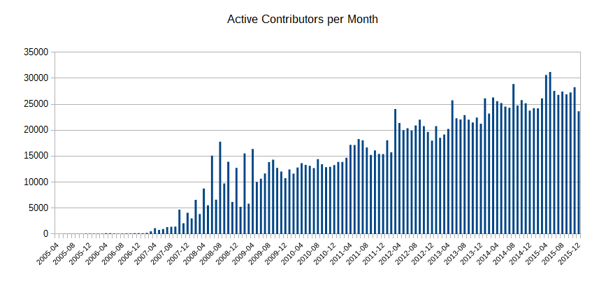
OpenStreetMap
"Wikipedia + GPS"or"Google Maps that anyone can edit & download"
A collaberative map of the world: A database of real life things(that's not really like Wikipedia or GMaps at all)
Some users of OpenStreetMap:foursquarePintrestFlickrcycle.travelLe MondeEvernoteFinancial TimesNational Park ServiceStravaGitHubNestoriaCraigslistThe LA TimesThe Washington Post
LA Times:
OpenStreetMap is an incredible resource
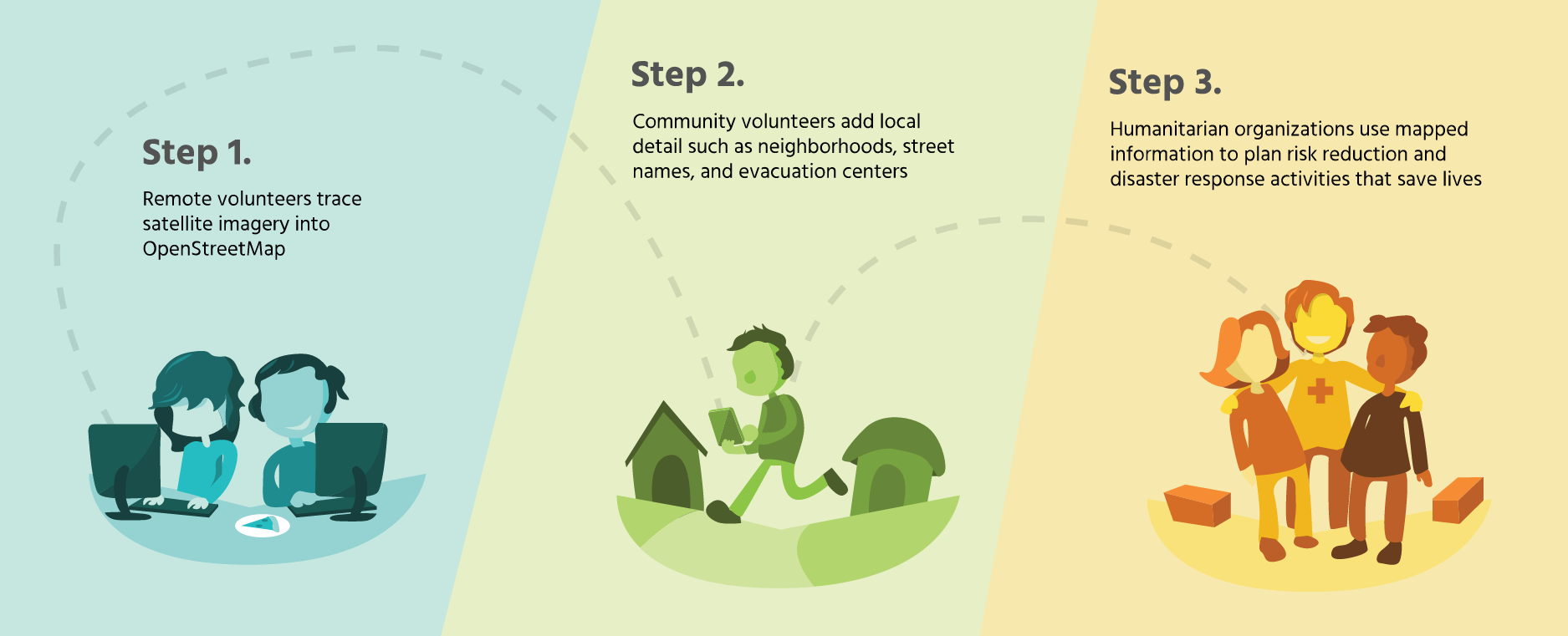
Humanitarian OpenStreetMap Team(HOT)
Humanitarian OpenStreetMap Team applies the principles of open source and open data sharing for humanitarian response and economic developmenthotosm.org
HOT is:A membership led organisationRegistered as a US not-for-profitActive across the globe in both funded and unfunded projectsEmpowered by thousands of volunteers
(put briefly)We provide maps for first responders and humanitarian workers
We do have people physically on the ground,We do undertake paid projects,but...
We can only do our work with the support of volunteers contributing remotely
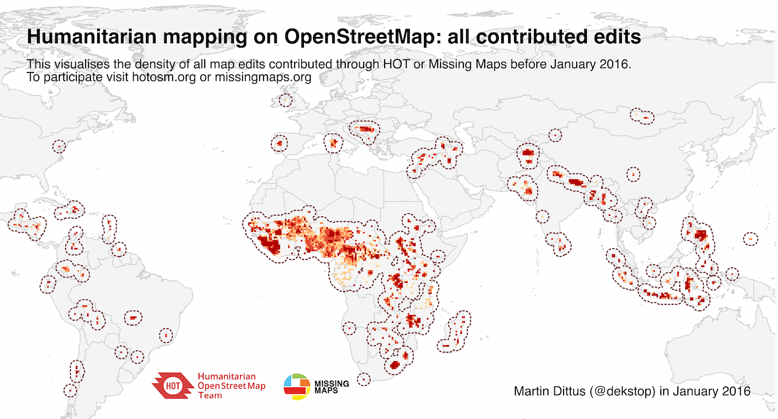
Notable HOT activations:
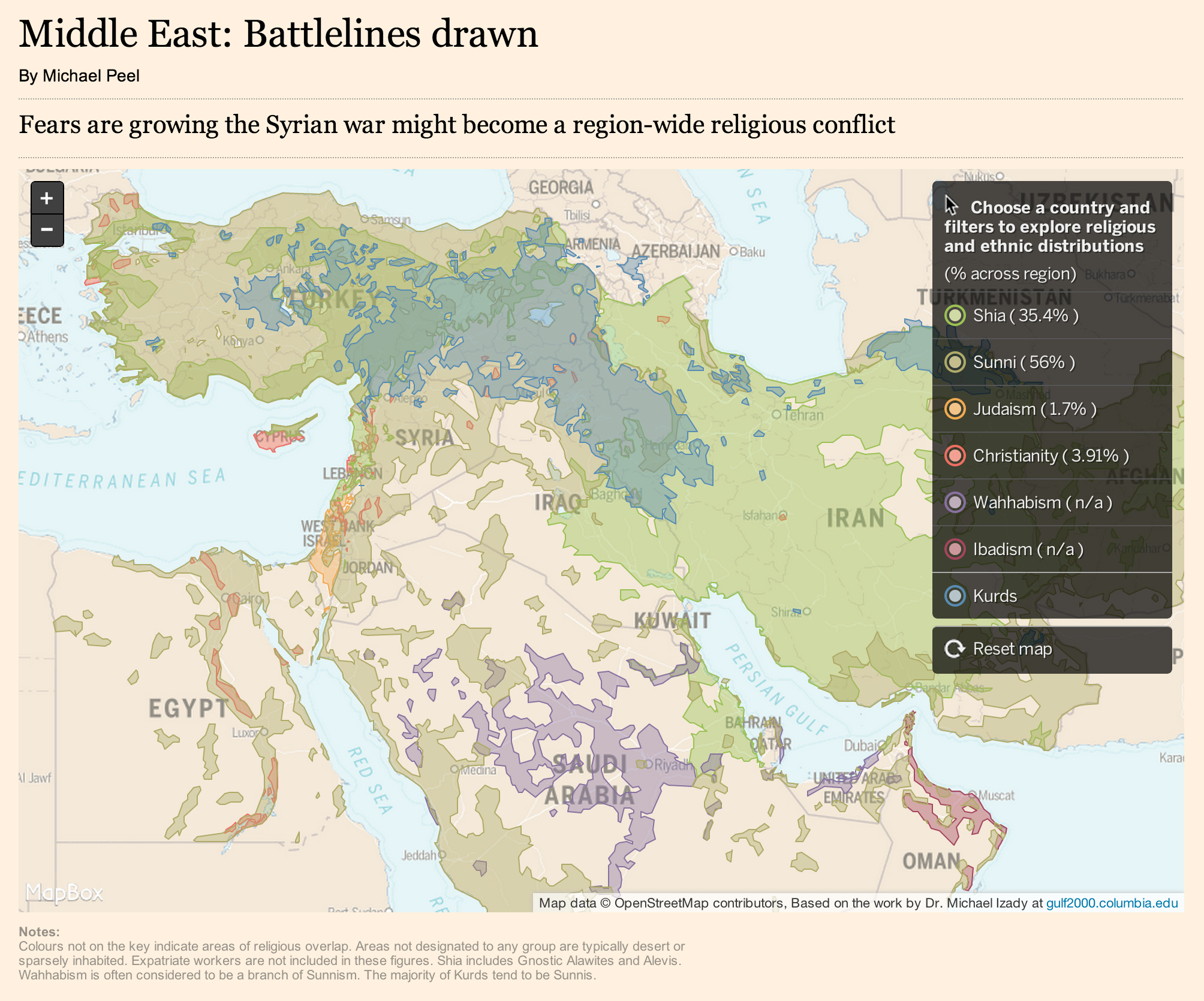
2009 Israel / Gaza conflict2009 Philippines Tropical storm Ondoy2010 Haiti Earthquake2011 Horn of Africa famine2012 Indonesia Risk modelling2012 USA Hurricane Sandy2013 Syria Humanitarian crisis2013 Philipines Typhoon Haiyan2014 West Africa Ebola Response2015 Nepal Earthquake
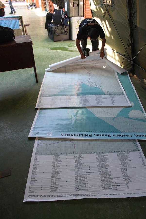
Tacloban airport:
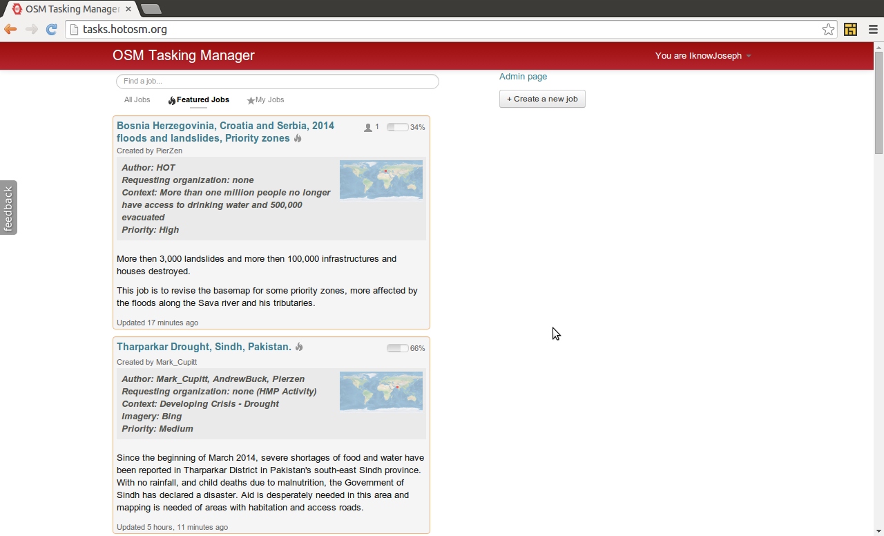
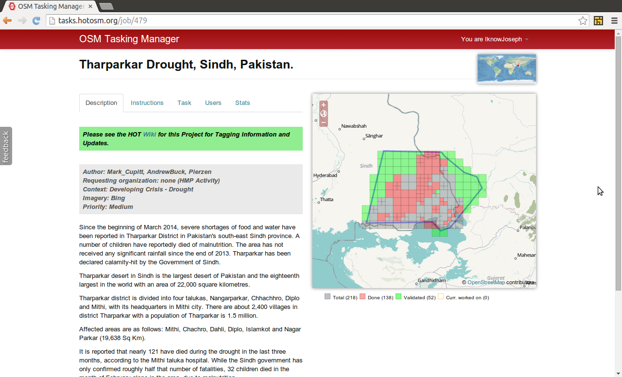
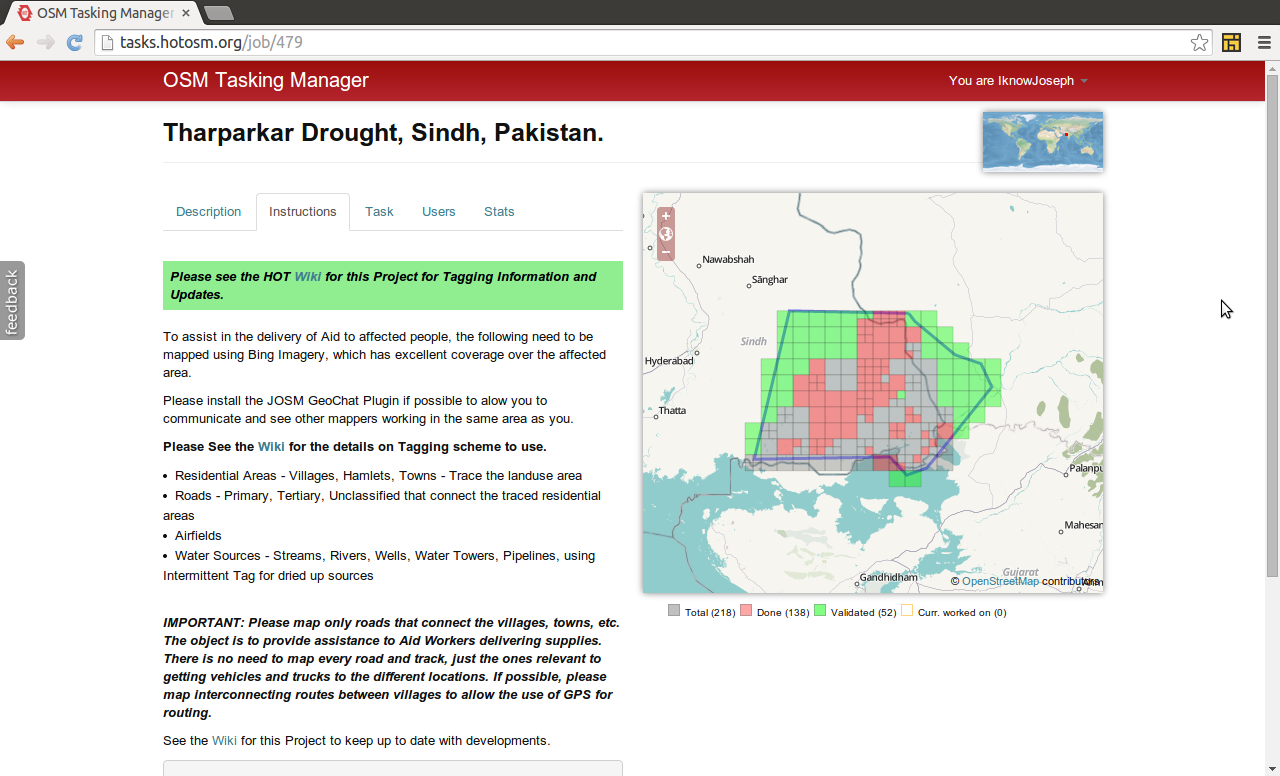
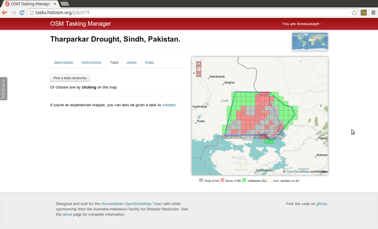
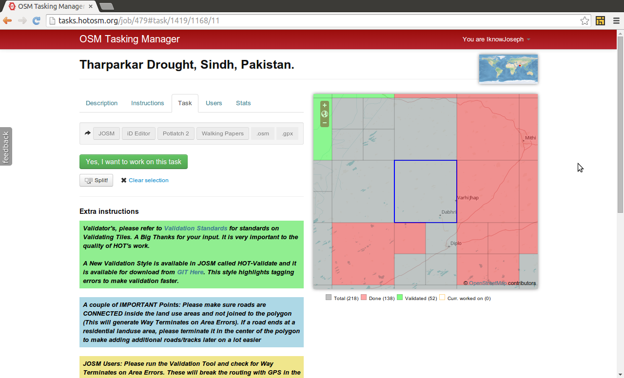
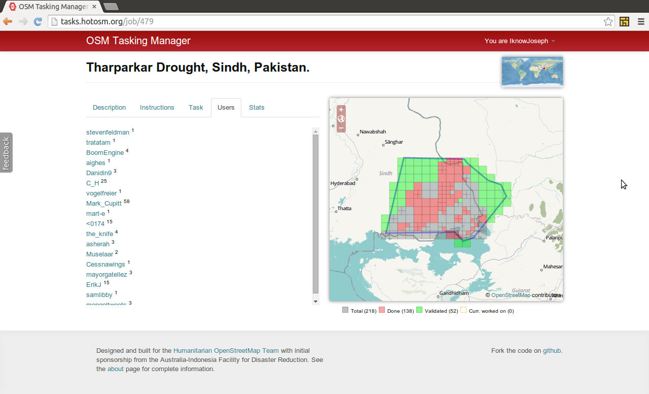
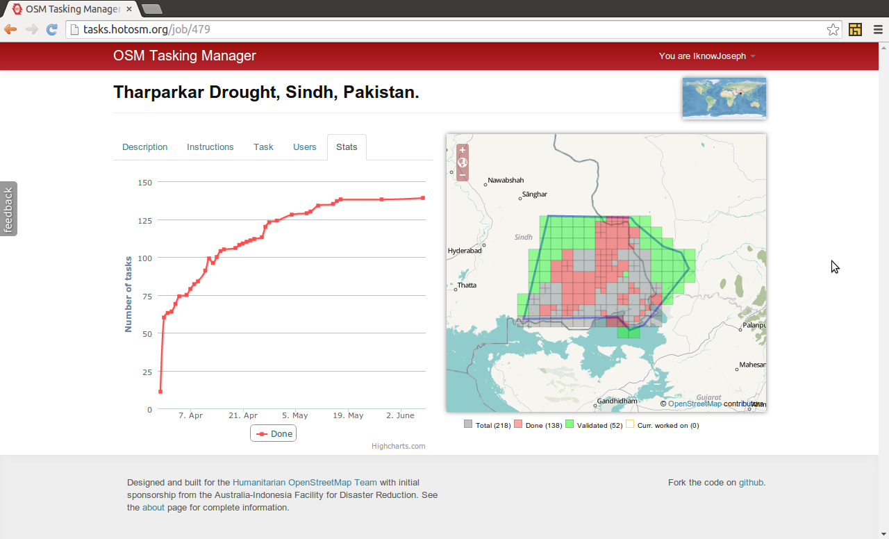
Managing mapping taskstasks.hotosm.org
Support from partners: Imagery, data exports, map renderings, publicity
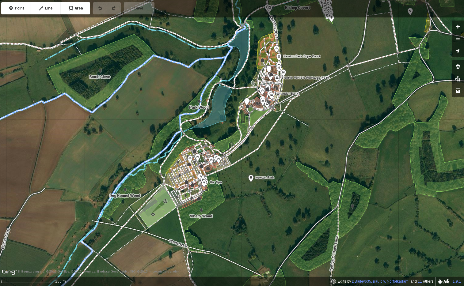
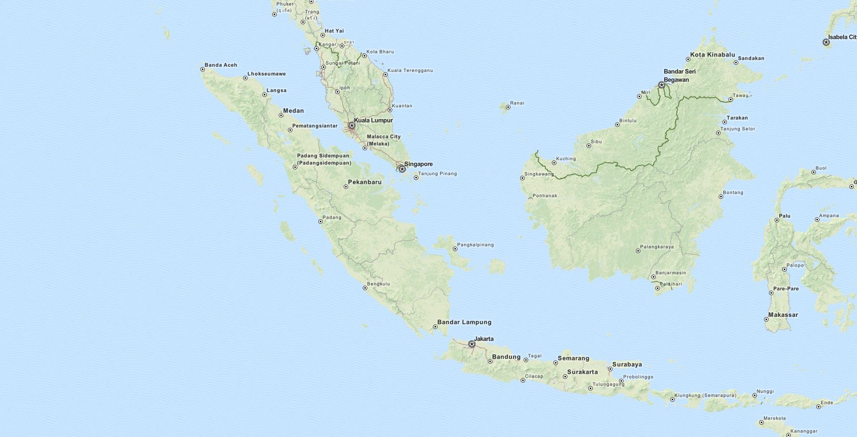
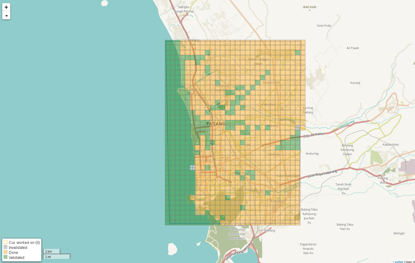
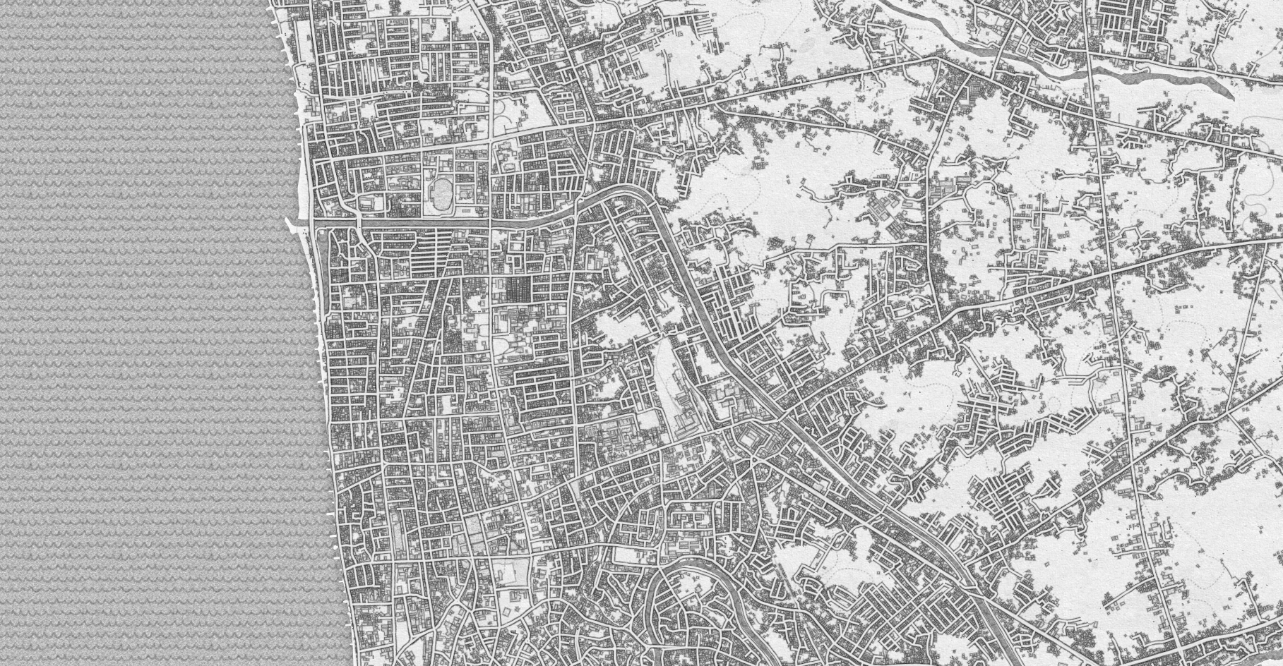
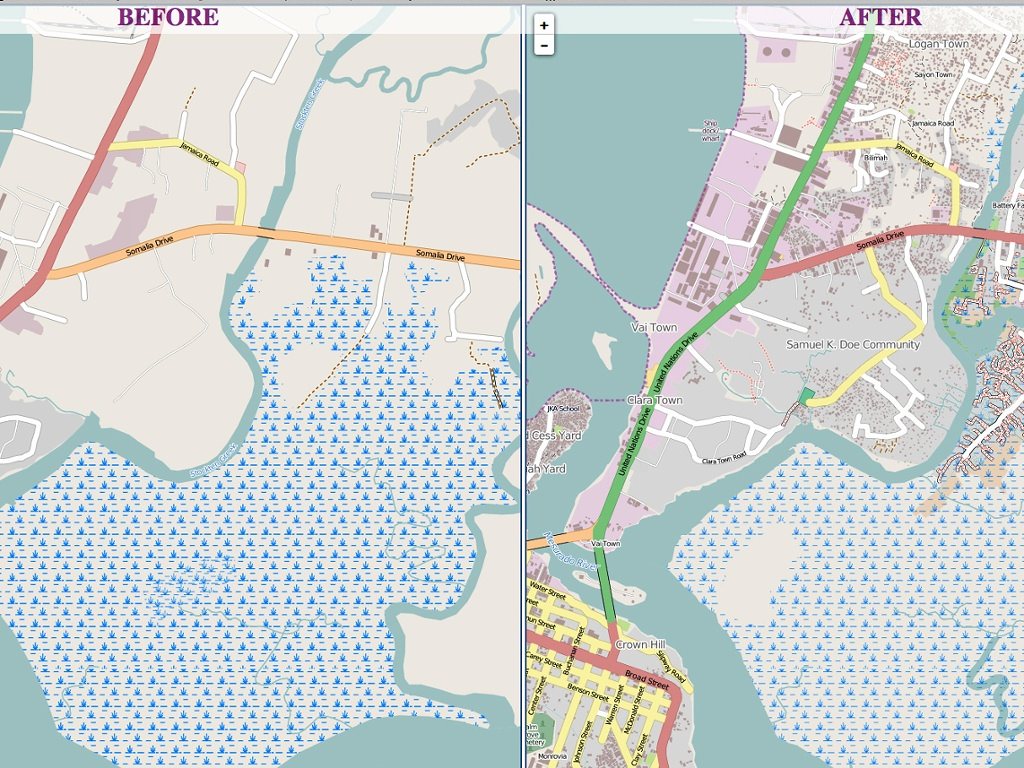
Case study:Padang Indonesia
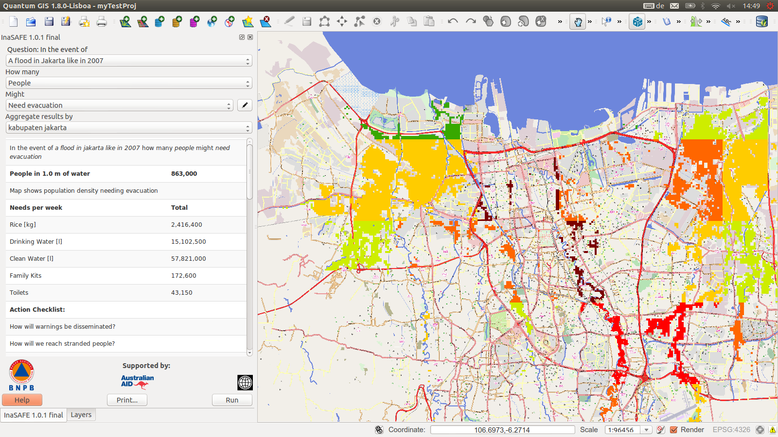
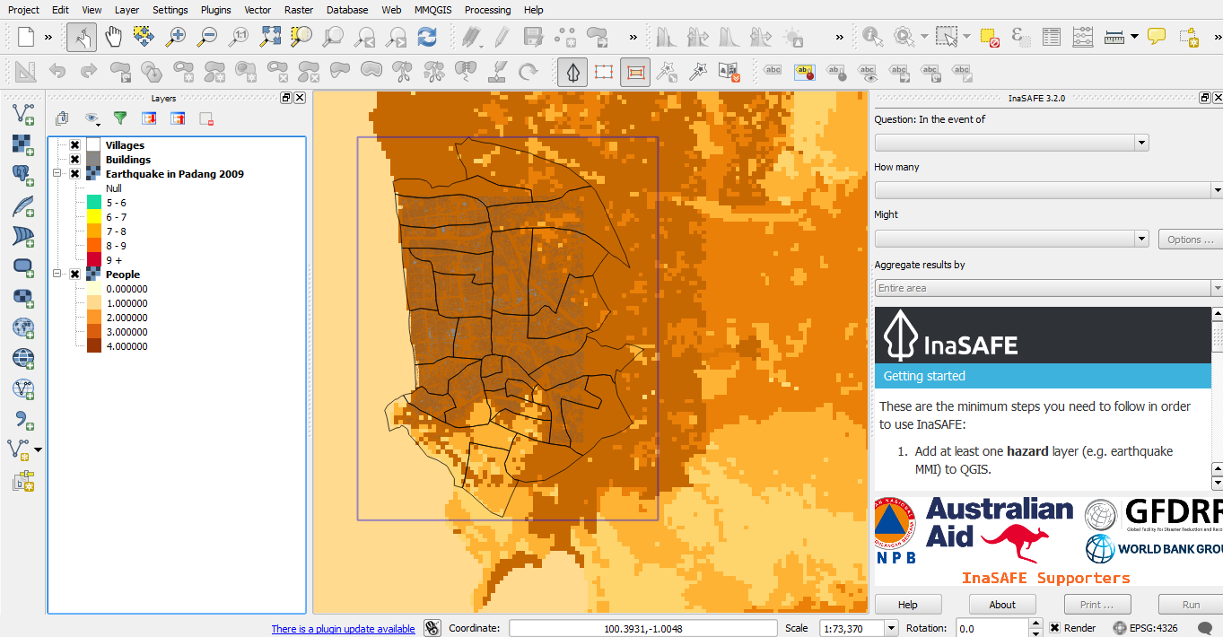
Padang, West Sumatra:2009 earthquake killed over 1,100,300,000 buildings damaged or destroyed.300,000 people currently in tsunami innundation zones,
800,000 people currently at risk
1,017 individual mapping taskscompleted by 81 remote volunteers
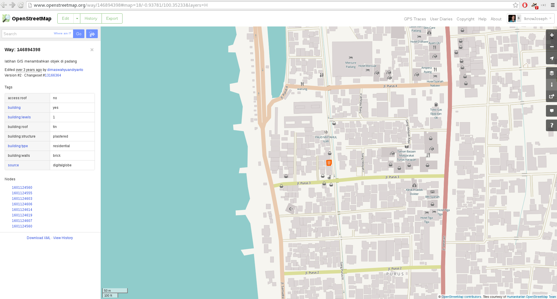
Your task is to trace all roads and buildings in the square assigned. In a busy city centre location, this could take an hour or more, but some squares are less busy.Please use source=digitalglobe for any features you add.
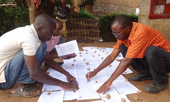
Collecting the additional data required for disaster modelling
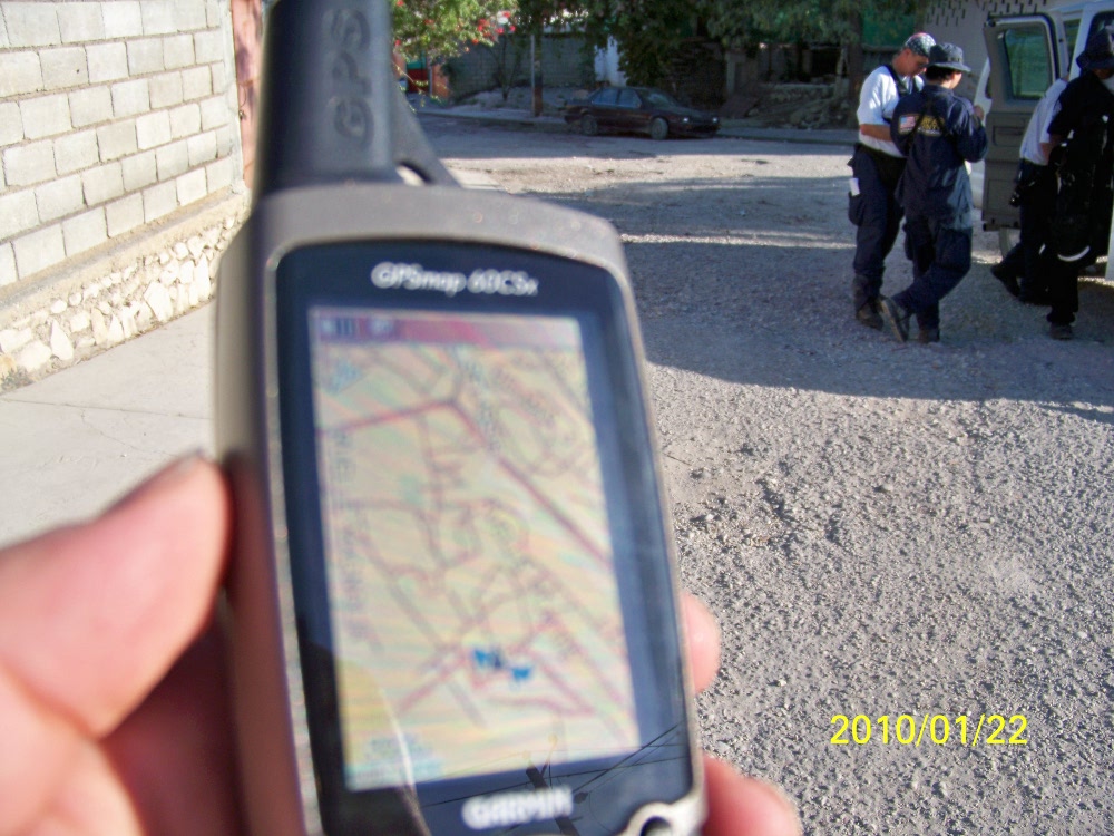
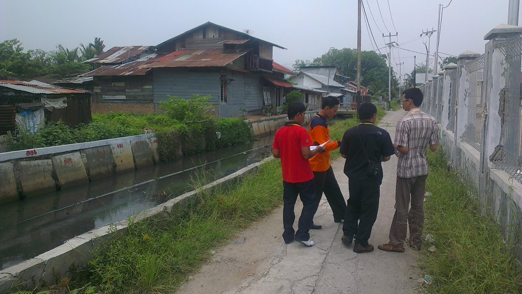
September 2012: on the ground training with BNPB, the national disaster prevention agency, BPBD, the provincial disaster management agency, and Padang University students
Missing Maps:Taking HOT furtherwww.missingmaps.org
Partnership founded by American Red Cross, British Red Cross, HOT, MSF to "map the most vulnerable places in the world"
Building on the strengths of the organisations involved to crowdsource maps for the people that need them
A great deal of HOT is nebulous in structure, and volunteer led,Traditional aid agencies are more hierarchical, have access to more traditional funding sources, and want map data
Missing Maps connects people with time to donate to aid organisations that require maps
To the mappers Missing Maps provides direction, training and encouragement (sometimes pizza). Missing Maps makes mapping social
To the aid agencies Missing Maps provides access to OpenStreetMap and the raw data available there
Getting involved:
Map with usJoin (host?) a mapping partyTalk with us
Non mapping tasks:Legal assistance,Health & Safety,communications & the press,software development,funding
Thanks for listening